The Final GIS Workshop (in Spanish) was held on November 10 and 11, 2015, in the City of Buenos Aires, with the following three aims: presenting what had been achieved as a result of the consolidation of the COSIPLAN Geographic Information System (GIS), deciding upon the components to be published on the UNASUR website, and establishing content administration procedures.[1]
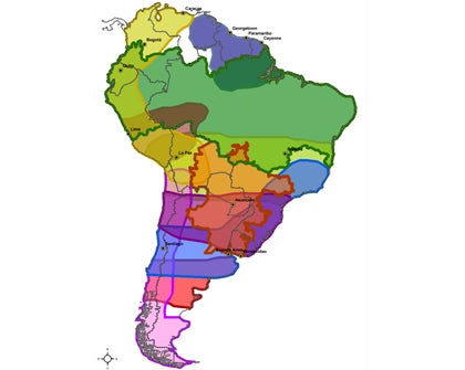
The aim of the GIS is to provide the countries that are part of COSIPLAN the capacity to undertake geospatial analysis of specific COSIPLAN issues. This has been made possible through the development and implementation of a system that uses continental geospatial databases in thematic layers for each subject area and is compatible with the provision of geoservices.
On the basis of the agreements reached in 2012, two documents were drafted and adopted:

In 2013, US$230,155 from the UNASUR Common Initiatives Fund (FIC) were approved for technical assistance for the development and implementation of the COSIPLAN GIS.

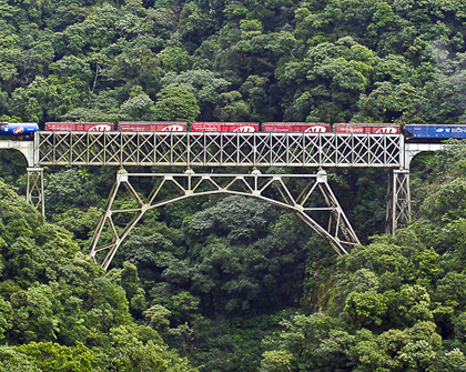
The outputs obtained as a result of this process are: (I) a set of 21 initial thematic layers, which constitute the core of the COSIPLAN GIS (political divisions; settlements; border crossings and border controls; road, rail, port, and airport infrastructure; natural resources; and projects in the COSIPLAN Project Portfolio; among others). The most useful aspect of these layers is that they can be used intensively and integrated into other datasets and that spatial analysis processes can be applied to them; (ii) Content Manager System, through which you access spatial information. In the first stage of development of the GIS, information will be provided in Shapefile format, and each of the 21 thematic layers will be compressed; (iii) metadata, available in PDF format; and (iv) complete documentation of the COSIPLAN GIS: Catalog of features, data dictionary, topological rules, metadata profile, system documentation, and operation manual and user guide.
The technical document on the COSIPLAN GIS will be presented for consideration and approval at the 6th Ordinary Meeting of COSIPLAN Ministers (Montevideo, December 3, 2015). This document, which is addressed in particular to those government officials and professionals who may potentially be users of the system, acknowledges the efforts made by a team of authorities, public officials, executives, professionals, technicians, and specialists from all the countries that make up the UNASUR in order to reach this initial achievement. The document outlines the main features, contents, forms of access, and benefits of the GIS.
[1] The Working Group on the COSIPLAN Geographic Information System and Website (GIS/COSIPLAN-WEB WG) is coordinated by the Republic of Argentina. It was created at the 4th Ordinary Meeting of COSIPLAN Ministers, 2013 (link).