For the first time ever, the countries of South America have brought together official geospatial information in a single tool that can be downloaded from a public access website and worked on using standard desktop software. The challenge from here on is keeping the information the tool contains up-to-date while incorporating new thematic layers that are relevant for analyzing the region and planning actions and projects within all UNASUR work areas.
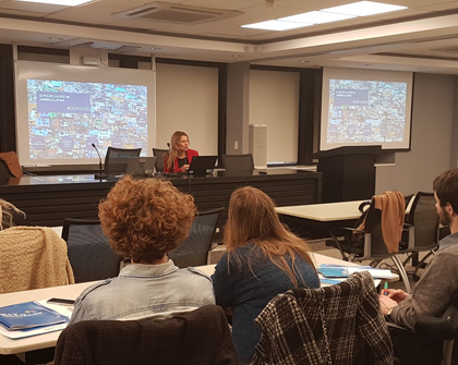
The Republic of Argentina coordinated a Workshop on June 28, 2016, (link in Spanish) and a Videoconference on July 5, 2016 (link in Spanish) to move forward with the second stage of developing and implementing the COSIPLAN Geographic Information System (GIS) (link in Spanish). These events were attended by representatives from all 12 countries in South America, officials from the General Secretariat of UNASUR, and INTAL in its role as the Secretariat of the COSIPLAN/IIRSA Technical Coordination Committee.

The Challenge of Integrating Strategic Information
A GIS is a tool that enables users to visualize and manage data so that they can interpret the phenomena and trends taking place in the different territories more precisely than traditional map formats allow. The system uses continental geospatial databases in unified thematic layers for each subject area and is compatible with the provision of geoservices.
The GIS was published in November 2014 and currently includes 21 information layers: projects from the COSIPLAN Project Portfolio; built-up zones; settlements; railway lines; railway stations; roads (forming part of the road network); ports; rivers; lakes; conservation areas; administrative borders; administrative zones (level 2); administrative subzones (level 3); border controls; border crossings; airports; and connections.
The documentation for the COSIPLAN GIS includes a catalog of features, data dictionary, topological rules, metadata profile, system documentation, and the user manual. All these materials are available on the GIS website.
This work was made possible by a participative methodology that included a technical support team and individual and group work on the part of the countries involved, which took place through video conferences and on-site workshops. To provide support for this project, a sum of US$230,155 was assigned from the UNASUR Common Initiatives Fund (FIC), which is administered by Argentina’s Subsecretariat of Territorial Planning, representing the COSIPLAN GIS Working Group.
Regulatory and Technical Aspects
The countries agreed that the composition of the thematic layers of the COSIPLAN GIS would be the outcome of integrating the information from official sources provided by each member country. The Basic Technical Guidelines for the Development of a COSIPLAN Geographic Information System (link in Spanish), adopted at the 3rd Ordinary Meeting of COSIPLAN Ministers (Lima, November 2012), set out the technical aspects that were agreed upon by the countries:
Data Access and Using the GIS
The core of the COSIPLAN GIS is the set of 21 thematic layers described above. The most useful aspect of these layers is that they can be used intensively by integrating them into other datasets. In addition, spatial analysis processes can be applied to them.
You can start using the GIS from your own computer through specific software that can be used with this type of data, or by accessing the map display on the COSIPLAN GIS website.
Managing the COSIPLAN GIS is an ongoing activity that entails updating information, adding new layers, designing new applications, and improving the tool itself. For this process to be successful, one fundamental input is user observations. The COSIPLAN GIS Working Group, which is coordinated by Argentina, is responsible for carrying out these tasks so as to maintain the quality, reliability, and validity of the contents of the GIS. Given this aim, the Working Group established the following activities for 2016:


